Return to
the evidence.
One illustrative report, three views. The index records what each plate contains and what kind of claim it can support.
North Reach / tidal-marsh marginGenerated visual study
A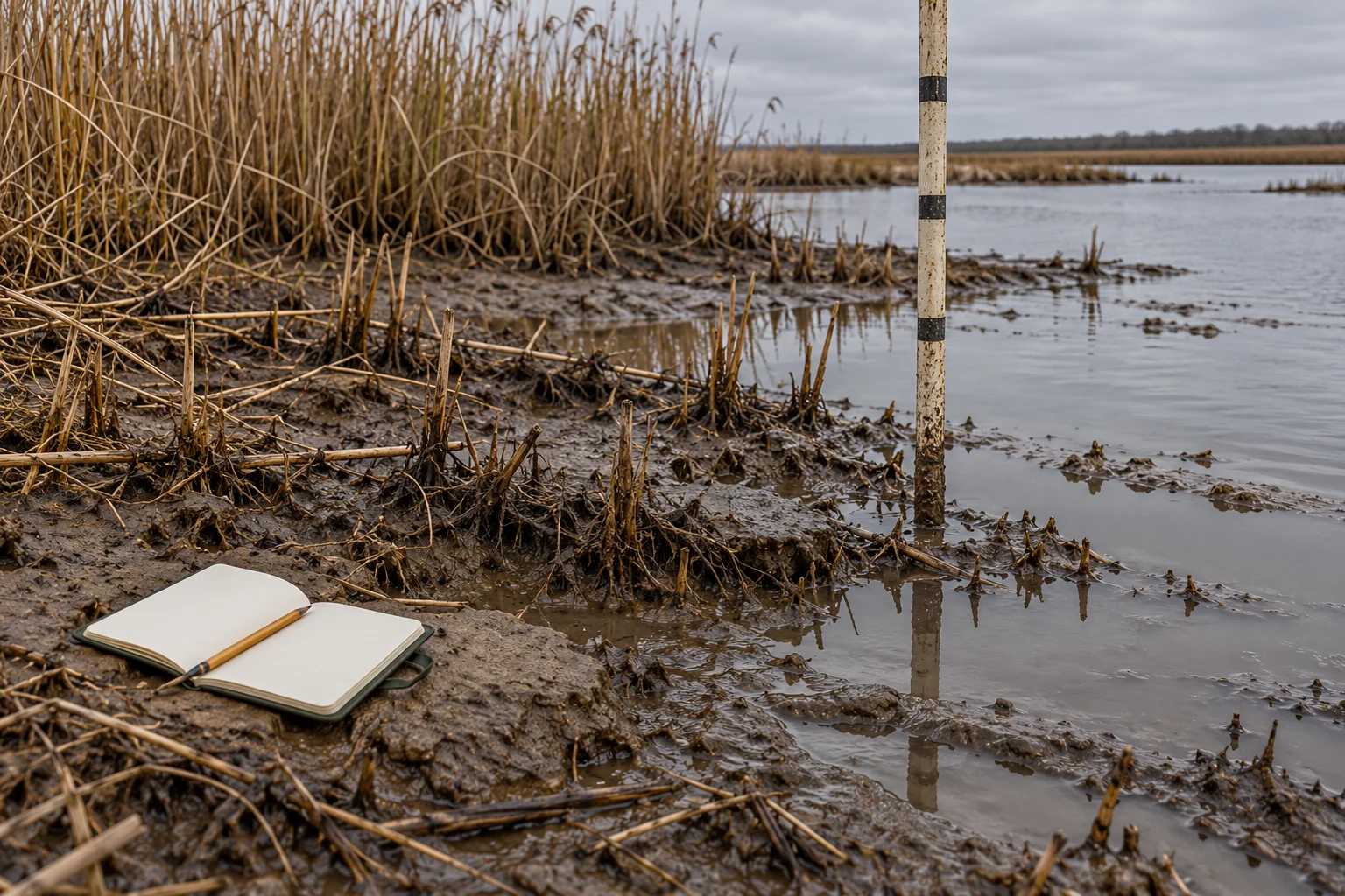
The wet edge
A wider frame holds the water, bank and field objects together. It establishes relationships, not a measured baseline.
- View
- Context
- Source
- Original generated illustration
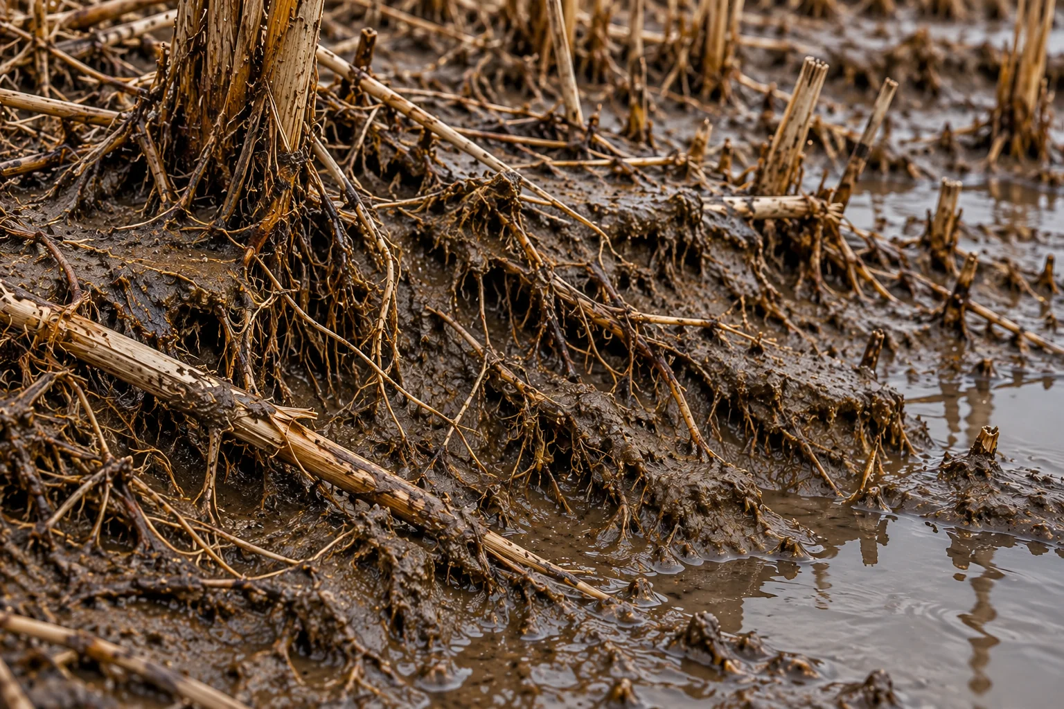
Reed roots
A close view exposes the texture of roots and sediment. The detail does not establish a cause or rate of erosion.
- View
- Detail
- Source
- Original generated illustration
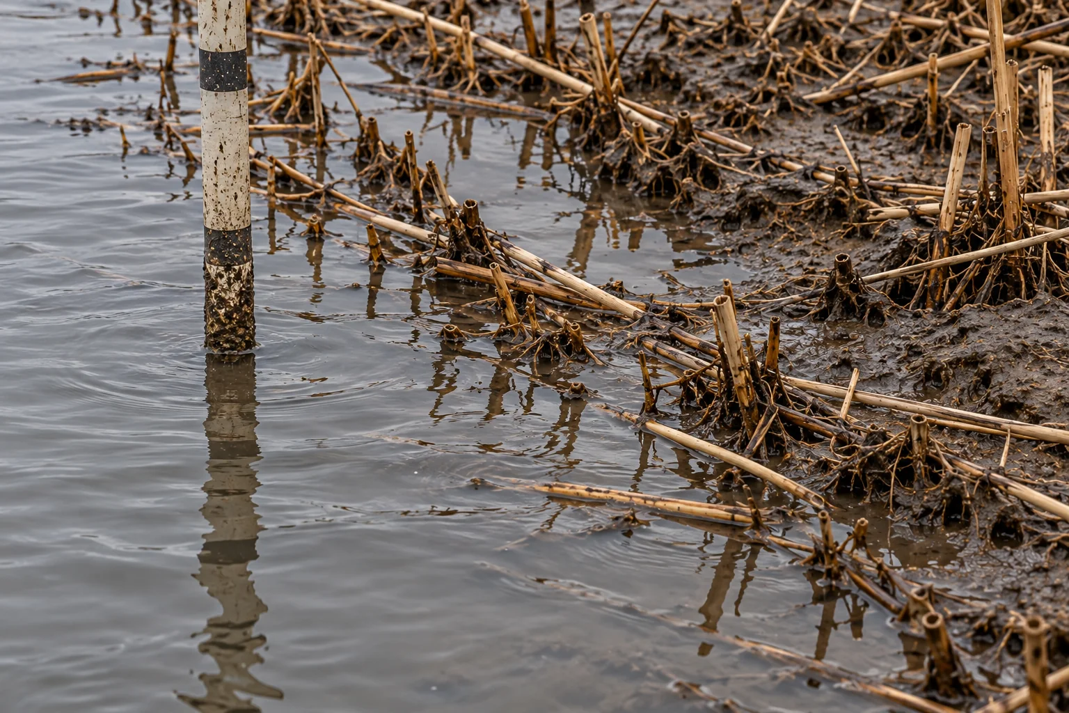
Staff & reflection
A vertical reference is broken by the water surface. The visible bands are not a calibrated reading.
- View
- Waterline
- Source
- Original generated illustration
Evidence has a history.
In a real report, this index would link each plate to its creator, capture time, permissions, method and original file. Here, provenance is limited to its clearly identified generated origin. No outside source has been presented as a field observation.
Read the method and limits