Where does
the wet edge stop?
A documentary reading of a fictional tidal-marsh margin.
A photograph can make a boundary look settled. Here, water, mud and reeds share an edge that is difficult to draw with a single line. The useful question is not just where the water sits, but what we would need to observe again.
Source status: original generated illustrations. There are no recorded dates, coordinates, calibrated measurements or repeat visits behind these plates. All descriptions refer to what is visible in the images.
The evidence plates.
Change the plate to inspect a different part of the same illustrative bank.
Observation
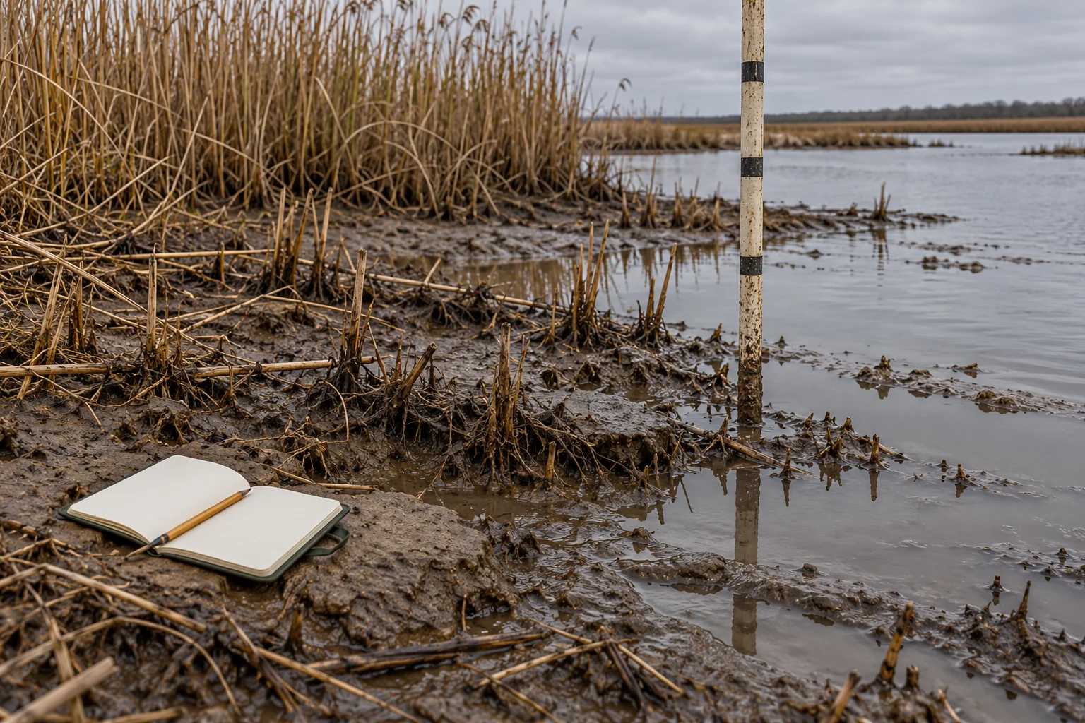
The image shows shallow water beside exposed mud. Broken reed stems and roots cross the apparent boundary. The staff and its reflection give the eye a vertical reference.
Interpretation
The irregular margin may invite a question about where water has recently been. The image alone cannot establish whether the water is arriving, receding or still.
Still unknown
A sequence of timed views, a calibrated water-level reference and the context of the site would be needed before describing change.
Keep the observation
apart from the explanation.
on language
“A reflection is interrupted by ripples” describes something visible in a plate. “The tide is rising” explains a process. The second statement needs evidence that the first image does not contain.
on time
Three different views are not automatically three moments in a sequence. These plates vary the viewpoint. They do not document a before-and-after change.
on scale
A familiar object may help a reader orient themselves, but a staff without a verified scale does not support a numerical measurement. Record the absence instead of filling it with a plausible number.