Know the ground.
Make a day of it.
Walking sessions, climbing introductions and time outside, shaped around your starting point.
Explore the activities Access point / 420 mStudy endpoint / 860 m
Slate Loop / fictional terrain study
Serving Anytown, USA. Meeting locations are confirmed directly; this diagram is not for navigation.
A route, read in sections.
Explore the invented Slate Loop. Its profile connects distance, elevation and terrain. All values are illustrative.
Access point — compacted approach.
Read the complete waypoint table
| Distance | Elevation | Section |
|---|---|---|
| 0.0 km | 420 m | Access point |
| 0.8 km | 490 m | Lower shelf |
| 1.7 km | 560 m | Gravel traverse |
| 2.6 km | 640 m | Switchback |
| 3.4 km | 720 m | Open shoulder |
| 4.3 km | 810 m | Upper shelf |
| 5.2 km | 750 m | Saddle |
| 6.0 km | 860 m | Study endpoint |
Before a real session: agree the meeting point, duration, equipment and any access needs with the provider.
Read the preparation notesChoose how you
spend the day.
The surface
changes the day.
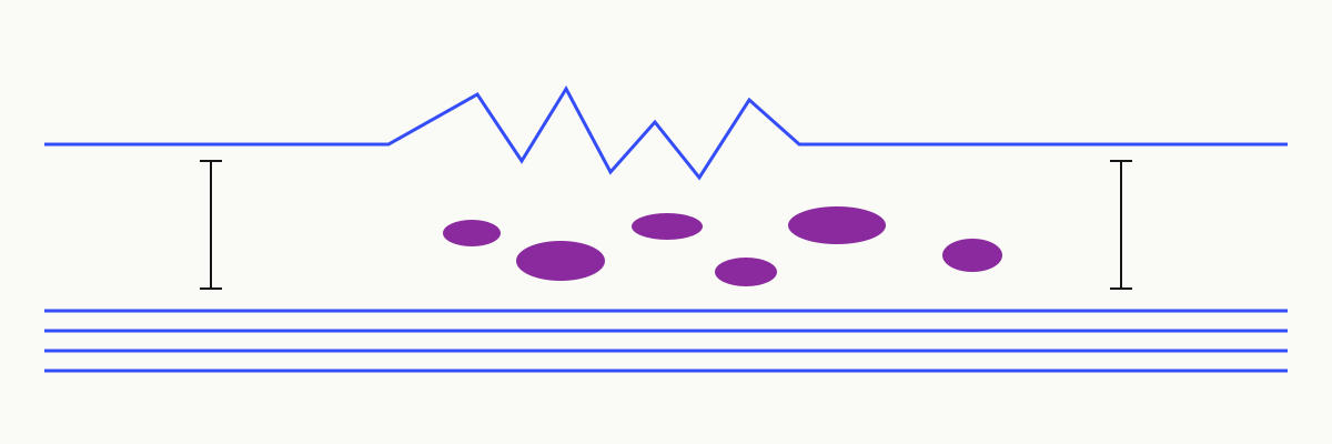
A smooth approach and a loose traverse ask different questions. The preparation conversation covers terrain, footwear and the kind of day you want.
Before you ask.
Do I need previous experience?
Discuss your experience when you enquire. The provider should describe the activity, expected demands and available options so you can decide whether it fits.
Where do we meet?
Meeting points are agreed directly for each real session. No diagram on this sample website identifies an actual location.
What happens if plans change?
Ask for the provider’s written weather, cancellation and rescheduling terms before confirming. This demonstration does not offer live bookings.
Start with a conversation.
Share the activity you have in mind, your experience and any access requirements. The owner can explain the next step before you commit.
Contact the studio